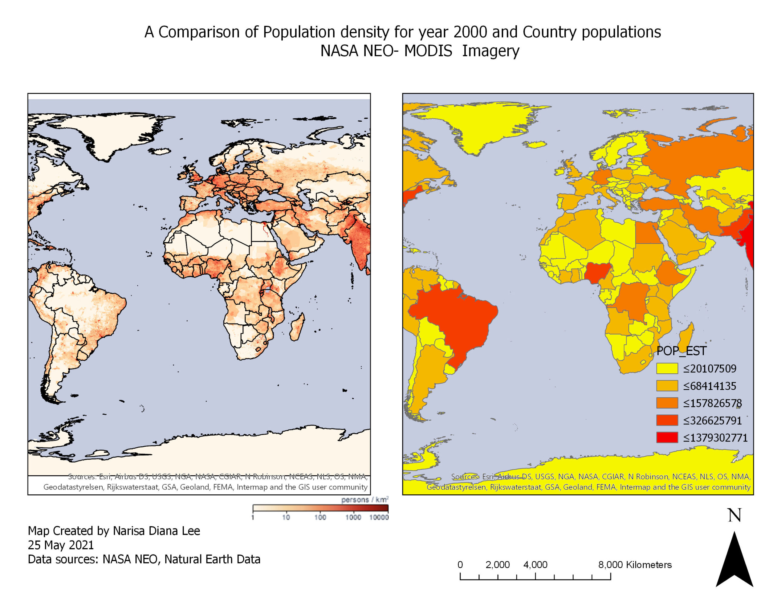
This is a map comparison of population density in year 2000 and country populations, explored using ArcGIS
Mapping Data to Cartographic Guidelines

Welcome to Dianne’s GIS portfolio. The purpose of this portfolio is to showcase my course assignments that were created using a variety of GIS software, demonstrating concepts and theories that were explored for spatial data analysis!
This is a map comparison of population density in year 2000 and country populations, explored using ArcGIS